

April 29, 2009
Target: Dodge City, Kansas

We came across these mammatus clouds on the western flank of the storm

We came across these mammatus clouds on the western flank of the storm
As we approached Garden City, KS we dropped south to parallel the storm. The supercell took on some amazing structure.

As we approached Garden City, KS we dropped south to parallel the storm. The supercell took on some amazing structure.
As we approached Garden City, KS we dropped south to parallel the storm. The supercell took on some amazing structure.

As we approached Garden City, KS we dropped south to parallel the storm. The supercell took on some amazing structure.

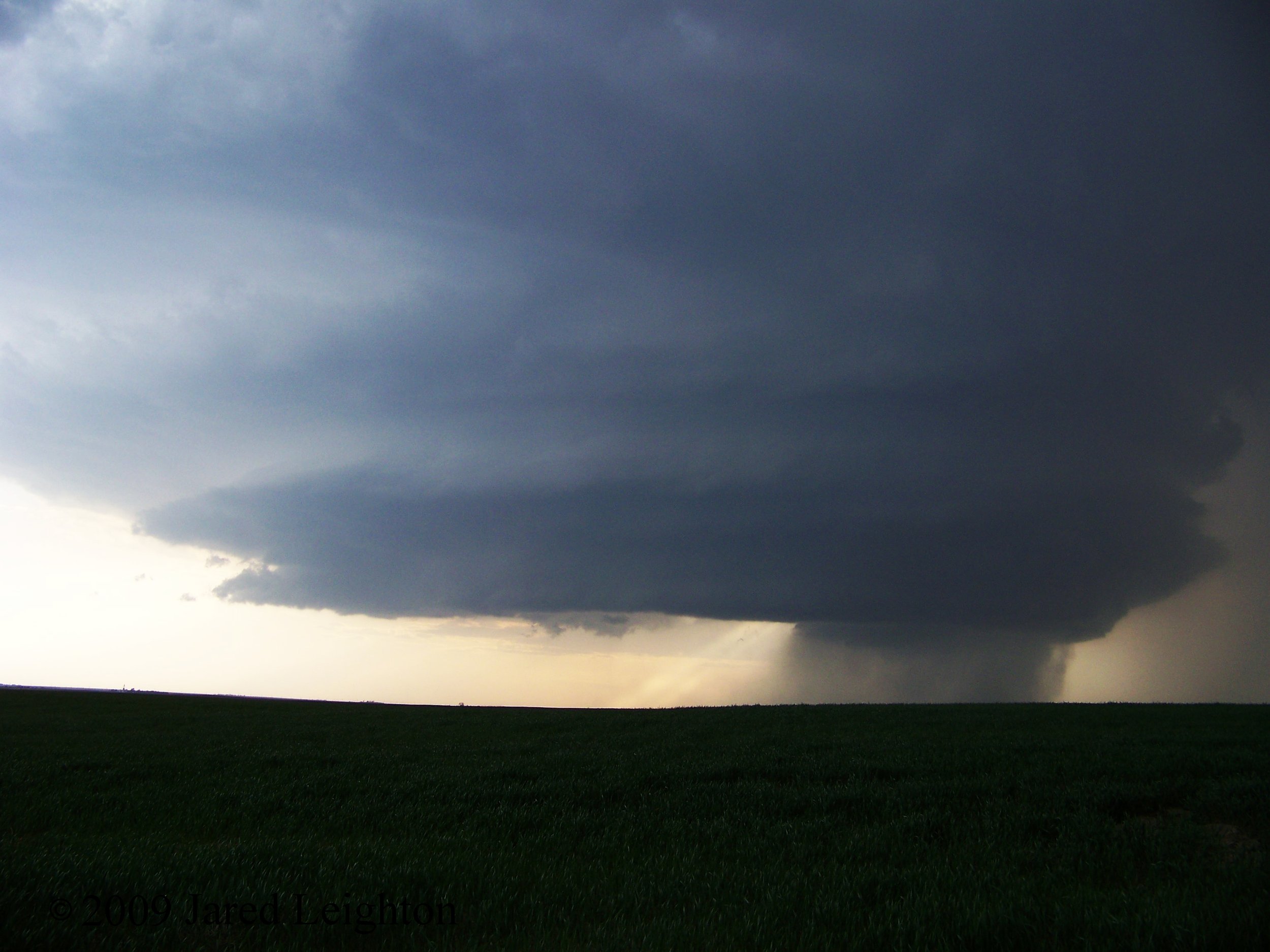
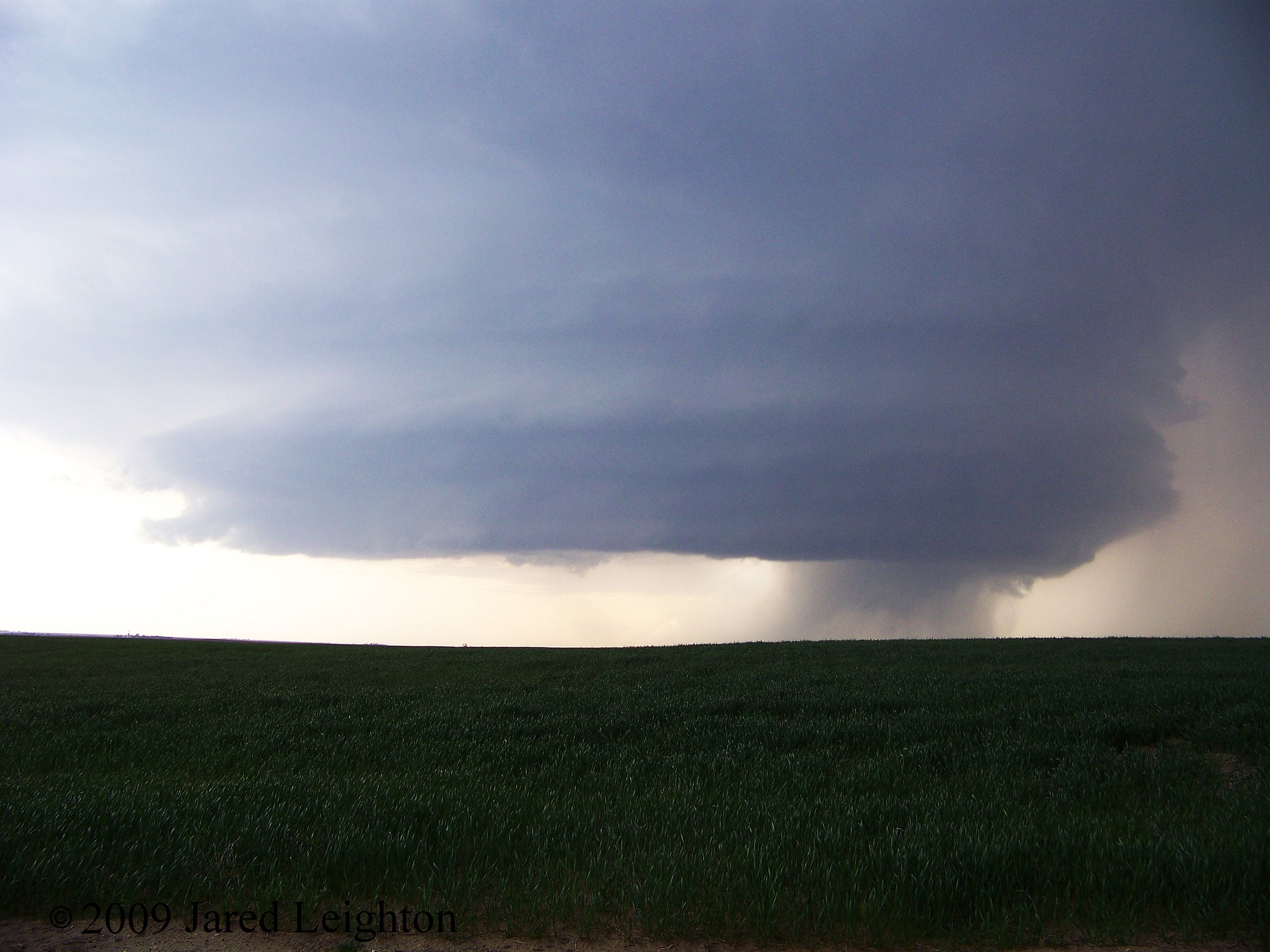
The supercell sat nearly stationary for several minutes over the fields of southwestern Kansas, south of Garden City.

The supercell sat nearly stationary for several minutes over the fields of southwestern Kansas, south of Garden City.

The supercell sat nearly stationary for several minutes over the fields of southwestern Kansas, south of Garden City.

The supercell sat nearly stationary for several minutes over the fields of southwestern Kansas, south of Garden City.

As we watched the quasi-stationary supercell to our north, this new updraft formed to our south. It quickly became evident that this storm would become the next storm of interest.

As we watched the quasi-stationary supercell to our north, this new updraft formed to our south. It quickly became evident that this storm would become the next storm of interest.

This new updraft quickly became supercellular and passed by to our south. Reports of softball sized hail were then received by the spotter network, so we watched the beautiful structure of the storm while waiting for it to weaken before heading home.

This new updraft quickly became supercellular and passed by to our south. Reports of softball sized hail were then received by the spotter network, so we watched the beautiful structure of the storm while waiting for it to weaken before heading home.

The southern supercell demonstrated similar structure to the first supercell which formed earlier in the day.

We came across these mammatus clouds on the western flank of the storm.